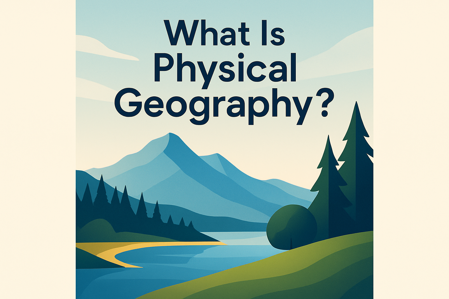
Physical geography, a subfield within the diverse realm of geographical sciences, stands as a captivating exploration of Earth’s physical properties and processes. This discipline examines the natural features and phenomena of our planet, such as mountains, rivers, oceans, and landforms, as well as the processes that create and modify them throughout time. Understanding physical geography is crucial as it not only shapes our immediate environment but also significantly affects human activity, impacting everything from resource distribution to climate adaptability. As we delve deeper into this topic, we shall uncover a clearer view of how intricately connected our lives are with the Earth’s dynamic systems.
Landforms and Their Formation
When discussing physical geography, one must begin with the Earth’s landforms. Landforms are natural physical features prominent on the Earth’s surface, such as mountains, hills, plateaus, and valleys. These features are shaped by various processes, including tectonic activity, erosion, weathering, and deposition. For example, mountains are primarily formed through tectonic activities where plates collide and the crust is lifted upwards, creating formidable peaks. One of the most renowned examples is the Himalayas, which continue to rise as the Indian plate collides with the Eurasian plate. An understanding of landform creation is vital, as these structures influence climate patterns and human settlement, necessitating thorough study for any geographical education.
Climatic Zones and Patterns
The Earth’s climate system plays a significant role in physical geography, influencing both natural landscapes and human activities. Climate refers to long-term weather patterns characterizing a region over extended periods. The Earth is divided into climatic zones, such as tropical, temperate, and polar zones, each with distinct characteristics. For instance, the tropical zone experiences consistent high temperatures and significant rainfall, as seen in the Amazon Basin, conducive to lush vegetation and diverse wildlife. These climatic distinctions help outline which species, both flora and fauna, can thrive in specific areas and how humans adapt their lifestyles, agriculture, and infrastructure accordingly.
Bodies of Water and Their Influence
An integral aspect of physical geography is the study of Earth’s bodies of water, including oceans, seas, rivers, and lakes. These water bodies are crucial for supporting life by providing habitats, influencing weather and climate patterns, and facilitating human activities such as transportation, agriculture, and industry. For instance, the Nile River’s flood cycles have historically enabled Egyptian civilization to flourish through effective agriculture. Water bodies also play an essential role in shaping the physical landscape through processes like erosion and sedimentation, affecting coastal formations and river valleys.
| Water Body Type | Example | Significance |
|---|---|---|
| Ocean | Atlantic Ocean | Influences climate, supports marine life, enables trade routes |
| River | Amazon River | Supports biodiversity, provides freshwater, aids navigation |
| Lake | Lake Superior | Freshwater source, supports local ecosystems, recreation |
Ecosystems and Biodiversity
Ecosystems are another crucial component of physical geography, encompassing the complex interactions between living organisms and their physical environment. These variations in biome types (forests, grasslands, deserts, etc.) are mainly determined by climate and landforms. The Amazon Rainforest is a prime example of a forest ecosystem that showcases extreme biodiversity, housing countless species that interact with one another and their surroundings. Biodiversity within ecosystems is vital for the functioning and resilience of ecological communities and thus plays a role in natural resource management and conservation efforts. Understanding these interactions is key in addressing contemporary environmental challenges and sustainable development.
The Importance of Natural Resources
Natural resources, which encompass minerals, forests, water, and fertile land, play an indispensable role in shaping the socio-economic structure of societies around the world. Physical geography provides essential insights into the distribution, availability, and sustainable management of these resources. For example, vast oil reserves found in the Middle East have significantly shaped geopolitical relations and economic strategies. By understanding the spatial distribution of resources and their potential for exhaustion, we can craft more sustainable approaches to their extraction and utilization, ultimately ensuring environmental stability and equitable growth.
Human Impact and Environmental Change
While physical geography primarily focuses on natural phenomena, it also considers human impact on the Earth’s systems and landscapes. Human activities, such as urbanization, agriculture, deforestation, and industrialization, have altered natural environments at unprecedented rates, leading to climate change, habitat destruction, and resource depletion. The deforestation of the Amazon Rainforest, driven by agricultural expansion and logging, exemplifies such detrimental human effects on ecology and climate dynamics. Recognizing the interplay between human actions and the environment is crucial for addressing environmental issues and developing sustainable policies that can mitigate negative impacts while supporting human progress.
Conclusion and Call to Action
In summary, physical geography plays an essential role in our understanding of Earth’s natural features and processes that form our world. By delving into topics such as landform creation, climatic influences, water bodies, ecosystems, and human impacts, we gain valuable insights into the forces shaping our planet and our lives. Understanding physical geography nurtures essential skills, including critical thinking and problem-solving, enhancing our ability to address environmental challenges and strive toward sustainable development.
Embracing the knowledge from physical geography enables us to make informed decisions regarding the environment, resource management, and societal development. To deepen our comprehension of this dynamic field, let us continue exploring, learning, and engaging with geographical thought, striving to protect and sustain our planet for future generations.
Frequently Asked Questions
1. What exactly is physical geography?
Physical geography is a branch of geography that focuses on the study of Earth’s natural environments and processes. It encompasses the exploration of landforms such as mountains, plains, and valleys, as well as bodies of water like oceans, rivers, and lakes. But it’s not just about identifying these features; it’s also about understanding the dynamic processes that shape them over time. From volcanic eruptions that forge new landmasses to the gradual erosion of coastlines, physical geography seeks to provide insights into the natural world around us. Additionally, it examines how these physical features and processes interact with and influence climate patterns, ecosystems, and even human activities. It’s a field rich with discovery, helping us appreciate the complexities of our planet and our place within it.
2. How does physical geography differ from human geography?
Physical geography and human geography are two sides of the same coin within the broader field of geography. While physical geography focuses on the natural aspects of the Earth, such as its landforms, climates, and ecosystems, human geography centers on the study of human societies and their relationships with the environment. Human geography looks at cultural, economic, and political influences and the spatial patterns they create, such as population distribution, urban development, and migration trends. Both disciplines intersect and interact, as human activities often modify natural landscapes, and physical geography can significantly impact human life. Together, they provide a comprehensive understanding of the world, illustrating how natural environments and human societies are intricately linked.
3. Why is studying physical geography important?
Studying physical geography is vital for several reasons. Firstly, it helps us comprehend the natural processes that shape our planet over time, providing insights into everything from weather patterns and climate change to natural disasters like earthquakes and hurricanes. By understanding these processes, we can better predict, prepare for, and mitigate the impacts of such events. Secondly, physical geography informs our management of natural resources, guiding sustainable practices in agriculture, forestry, and water usage, which are crucial for supporting life and the planet’s health. Additionally, it plays a role in urban planning and infrastructure development by identifying suitable locations for building while minimizing environmental impact. Ultimately, physical geography is a key to unlocking the mysteries of our planet’s past, present, and future, offering valuable perspectives that influence both policy and everyday decisions.
4. What are some examples of physical geography topics or themes?
Physical geography is a vast field with a wide array of topics and themes. Some notable examples include geomorphology, which is the study of landforms and the processes that shape them over time. This includes the understanding of erosion, weathering, and plate tectonics. Climatology, another theme, focuses on the study of climate systems and how they influence global and regional weather patterns. Hydrology examines the distribution and movement of water on Earth, including rivers, lakes, and groundwater systems. Biogeography looks at the distribution of plants and animals across the planet and how they are influenced by geographical and environmental factors. Glaciology delves into the study of glaciers and ice caps, important for understanding past and present climate changes. Each of these themes offers a different lens through which to view and understand our planet’s dynamic and interconnected systems.
5. How do maps and technology play a role in physical geography?
Maps and technology are indispensable tools in the field of physical geography. Traditional maps help geographers visualize and analyze spatial information, such as the distribution of physical features and climatic regions. But with advancements in technology, digital mapping and Geographic Information Systems (GIS) have revolutionized the way geographers study Earth’s physical properties. GIS allows for the layering and analysis of spatial data, facilitating complex analyses of environmental changes and patterns over time. Remote sensing, through satellites and airborne sensors, gathers critical data about Earth’s surface, providing insights into large-scale phenomena like deforestation, urban sprawl, and climate change. Tools like GPS offer precise positioning data, enhancing our ability to track and study geographical changes. These technologies not only improve our understanding of physical geography but also enhance decision-making for environmental management, conservation, and urban planning, proving invaluable in addressing many of today’s ecological and social challenges.