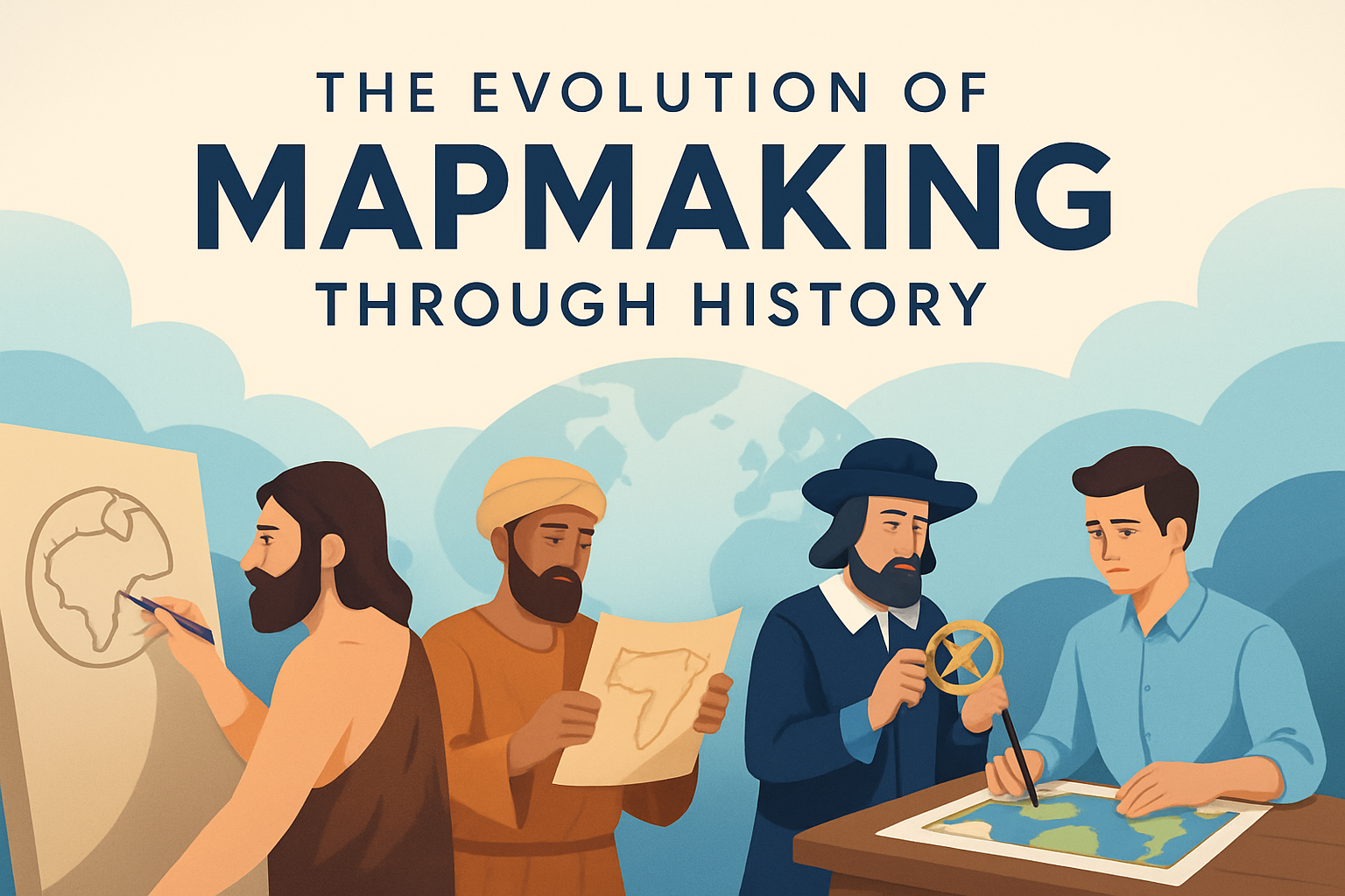
Maps have always served as a fundamental tool for understanding our world and guiding human endeavors. Mapmaking, or cartography, is the practice of creating representations of the earth’s surface. It is a blend of science, art, and technology, combining geographic and spatial data into a visual format. Understanding the evolution of mapmaking is crucial because it reveals much about human history, technological progress, and how we perceive reality. From ancient times to the digital age, maps have shaped exploration, political boundaries, urban planning, environmental science, and everyday navigation.
The discipline of cartography reflects humanity’s quest to make sense of the world. The technology and techniques used in mapmaking have transformed dramatically over centuries, reflecting advances in human knowledge, technology, and culture. This evolution is not just about changes in technology but also about how maps have influenced societies and shaped our understanding of the world. This article explores the rich history of mapmaking, highlighting key milestones and discussing their significance. It guides readers through ancient times, the Middle Ages, the Age of Exploration, the rise of thematic maps, and the leap to digital cartography, emphasizing how each stage contributed to our current understanding of the world.
Early Mapmaking: The Dawn of Cartography
Early maps were more symbolic and artistic than factual geographic representations. Dating back to the Stone Age, the earliest known maps are carved stone tablets and cave paintings. These maps directed tribes to resources and depicted basic routes. For instance, a cave painting in the Lascaux caves in France, dating to approximately 17,000 years ago, includes representations of animals and systems that could be interpreted as topographic features.
As societies became more organized, maps became more detailed and functional. The Babylonians created some of the first known detailed maps. Around 600 BC, they etched city layouts on clay tablets. For example, the Babylonian World Map, known as “Imago Mundi,” illustrates their perception of the known world, featuring Babylon at its center, showcasing their world view and serving religious and administrative purposes.
The Classical Era: Greek and Roman Contributions
The ancient Greeks were instrumental in progressing cartography. A landmark figure was Anaximander, who in the 6th century BC, constructed one of the earliest Greek maps, showing the inhabited Earth as surrounding the Aegean Sea. This was revolutionary because it attempted to represent geographic space systematically. Herodotus later expanded on this by incorporating diverse regions reported by travelers and traders.
In the Roman era, maps were primarily used for military purposes. One prominent example is the Peutinger Map, a Roman road map illustrating the cursus publicus, the road networks in the Roman Empire. This ancient ‘road atlas’ shows practical use of maps in logistics and governance, allowing for efficient troop movements and travel throughout the empire.
The Middle Ages: The Influence of Religion and Exploration
The Middle Ages saw a shift toward religious representation in maps. With the fall of the Roman Empire, European maps became more symbolic with “T and O maps,” such as those by Isidore of Seville, representing Earth as a flat disk with Jerusalem at the center. These maps prioritized spiritual over geographic truth, reflecting the period’s religious dogma.
Contrarily, in the Islamic Golden Age, cartography thrived with a significant focus on accuracy and navigation, sprung from the need for direction to Mecca and other landmarks across a vast empire. The Muslim scholar al-Idrisi created a world map and atlas for King Roger II of Sicily in 1154, which held accurate geographical information from diverse tradesmen and explorers, used widely in both Islamic and Christian maps thereafter.
Renaissance and the Age of Exploration: Precision and Discovery
The 15th to 17th centuries, known as the Age of Exploration, marked significant advancements due to explorers like Christopher Columbus and Ferdinand Magellan. Cartographers, influenced by both Renaissance humanism and emerging navigational needs, sought to create more accurate maps that guided explorers and colonizers.
The invention of the printing press spurred the spread of information, allowing maps to become more widely distributed and standardized. Gerardus Mercator invented the Mercator projection in 1569, crucial for navigation as it allowed sailors to plot straight-line courses over the curved surface of the Earth, despite distortions in landmass sizes.
A notable real-world example is the 1507 Waldseemüller map, the first to depict the Americas as a separate continent and to use the name “America,” named after the explorer Amerigo Vespucci. This map showcased the integration of new discoveries into cartographic knowledge.
The Development of Thematic Maps: Information over Geography
The turn of the 19th century brought the advent of thematic maps, focusing on specific topics like geology, population, or climate rather than just geographical features. A breakthrough came with Dr. John Snow’s cholera map in 1854. By plotting cholera cases in London, Snow identified a contaminated water pump as the source of an outbreak, marking the birth of modern epidemiology.
Thematic maps became critical tools in understanding and solving complex problems by integrating statistical data with spatial analysis, exemplifying maps’ role beyond mere location guidance but as critical aids in scientific inquiry and communication.
Modern Digital Cartography: The New Frontier
The late 20th and 21st centuries brought dramatic shifts with the advent of digital technology and geographic information systems (GIS). Digital cartography allows for dynamic, interactive, and highly detailed maps, customized for various applications from urban planning to environmental conservation and disaster management.
One significant example is Google Maps, launched in 2005. It revolutionized everyday navigation, integrating real-time data and satellite imagery, making maps accessible to anyone with internet access. Today’s digital maps facilitate real-time updates, extreme customization, and interactivity, reflecting changes in land use or infrastructure almost instantaneously.
| Era | Mapmaking Focus | Example |
|---|---|---|
| Ancient | Symbolic representation | Babylonian World Map |
| Classical | Scientific geography | Peutinger Map |
| Middle Ages | Religious and navigational maps | Al-Idrisi’s World Map |
| Renaissance | Accuracy for navigation | Waldseemüller Map |
| Modern | Thematic and digital mapping | Google Maps |
Conclusion: The Journey of Cartography
From ancient carvings to digital screens, maps have evolved alongside humanity itself. They serve as more than mere representations of geographical reality; they are tools that allow us to explore, navigate, and understand our world and society. The history of mapmaking reflects our growing knowledge, technological advancements, and cultural shifts.
As cartography continues to evolve with technology, it influences various domains, including science, policy-making, and personal life by enabling more insightful visualizations of data. This evolution shows no signs of slowing, with future maps poised to integrate big data, augmented reality, and AI, further transforming how we interact with our environment.
The next time you navigate using a map, remember that it is a culmination of centuries of human effort, curiosity, and ambition. I encourage you to explore various maps, understand their context, and consider their impact on shaping your perceptions.
Frequently Asked Questions
1. How did early civilizations create maps, and what were they used for?
Early civilizations developed some fascinating ways to create maps. Fundamentally, maps were born out of necessity and curiosity. Ancient civilizations such as the Babylonians, Egyptians, and Greeks started making maps to aid in navigation, trade, and understanding the geography of their world. The Babylonians are known for creating some of the earliest maps around 2300 BC on clay tablets. These maps were simple and small-scale but vital for delineating boundaries and planning agriculture or military endeavors.
In Egypt, tomb walls often displayed maps, illustrating land divisions and routes, especially along the Nile River. Later, the Greeks made significant advances, with scholars like Anaximander and Ptolemy pioneering the concepts of latitude and longitude, offering a more grid-like, systematic approach to mapmaking. These ancient maps may not resemble our modern ones, but they significantly contributed to spatial awareness and were foundational in the development of mapping methods we build upon today.
2. What role did the Age of Exploration play in the evolution of mapmaking?
The Age of Exploration, spanning from the 15th to the 17th century, was a pivotal period in the evolution of mapmaking. During this time, European explorers set out to discover new lands, fueled by the ambitious pursuit for new trade routes, wealth, and territories. The demand for accurate maps skyrocketed, as navigators needed reliable information to conquer the seas.
Cartographers like Gerardus Mercator and Abraham Ortelius emerged, producing maps that utilized advanced techniques for the time, such as the Mercator Projection, which, although distorting the size of landmasses, allowed sailors to plot straight-line courses over the oceans. The interaction with indigenous peoples and the exploration of new lands enriched cartographic knowledge, introducing a more comprehensive understanding of coastlines, continents, and the connection of various parts of the world.
The Age of Exploration effectively expanded the scope of mapmaking from mostly local or regional focuses to a more global perspective, setting the stage for modern cartography disciplines.
3. How did technological advancements in the 19th and 20th centuries change mapmaking?
The 19th and 20th centuries heralded a technological revolution in mapmaking. The development of tools such as the theodolite, which allowed for precise angle measurements, and advancements in mathematics with triangulation techniques significantly improved the accuracy of maps. The introduction of topographic surveys by nation-states enabled the creation of highly detailed and large-scale maps essential for development planning, military strategy, and establishing property lines.
With the invention of the printing press, map dissemination became more widespread, making high-quality maps more accessible to the public and not just the elite. Aided further by lithography, maps could be reproduced with greater detail and color variations.
In the 20th century, the advent of aerial photography and, later, satellite imagery during and following World Wars I and II, revolutionized cartography once again. These innovations allowed for capturing views of the earth that were unprecedented in precision and scope, enabling the production of incredibly detailed and accurate maps that enhanced our understanding of the world.
4. How has the digital age transformed mapmaking and our interaction with maps?
The digital age has profoundly transformed mapmaking, shifting it from traditional paper-based formats into dynamic, interactive digital maps. With the rise of Geographic Information Systems (GIS), maps have become sophisticated tools that not only represent geographical data but also integrate various data layers on demographics, climate, transportation, and more. This allows for complex analyses and planning, facilitating informed decision-making across many sectors, from urban planning to environmental conservation.
The development of GPS (Global Positioning System) technology has put navigation directly into the hands of individuals, reshaping our daily lives with applications like Google Maps and other digital services. These applications offer real-time traffic updates, route optimization, and even augmented reality features, altering how we navigate and perceive our environment.
Moreover, the accessibility of mapmaking tools and data democratizes the process, allowing almost anyone to create and share maps, making it a collaborative and highly adaptable field.
5. What is the future of mapmaking, especially with emerging technologies?
The future of mapmaking promises exciting developments with technologies that continually push the boundaries of what’s possible. Artificial Intelligence (AI) and machine learning are beginning to play significant roles in analyzing vast amounts of geospatial data quickly and accurately, enhancing the precision and predictive capabilities of maps. These technologies can offer insights into trends and changes that were previously difficult to predict, such as environmental shifts or urban expansion patterns.
Interactive and immersive technologies like Virtual Reality (VR) and Augmented Reality (AR) are also paving the way for new map experiences, where users can interact with 3D representations of the world, offering unprecedented perspectives and simulations of geographical environments. This approach can revolutionize fields such as education, tourism, and emergency management.
Additionally, the rise of crowdsourcing for data collection, exemplified by platforms like OpenStreetMap, signals an era of community-driven mapmaking efforts, ensuring maps are comprehensive and up-to-date.
The evolution of mapmaking continues as technology advances, promising to deepen our understanding of the earth and our place within it, adapting rapidly to the needs of a constantly changing world.