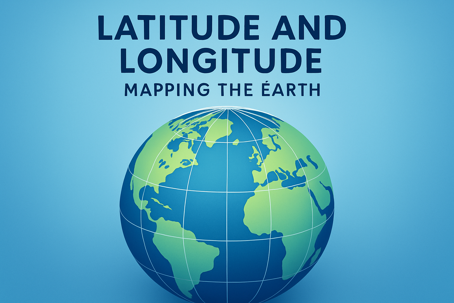
The study of geography and cartography introduces us to the fundamental concepts of latitude and longitude, central to understanding how the Earth is mapped. These two geographical coordinates enable us to pinpoint any location on Earth’s surface accurately. At their core, they are numerical representations that provide the exact positioning anywhere from the frozen expanses of the North Pole to the bustling streets of New York City. Latitude and longitude are not mere lines on a globe or maps; they represent humanity’s endeavor to chart the boundaries of the observable world and navigate it efficiently.
Grasping these concepts is essential not only for geographers and navigators but also for the average individual who uses GPS technology daily. Our smartphones, navigation systems, and even weather forecasts operate based on these coordinate systems. The visibility of latitude and longitude extends beyond mere navigation; it influences aviation, environmental studies, military operations, and significantly more. Understanding them makes the world a smaller, more accessible place.
The Basics of Latitude
Latitude measures how far north or south a point is from the Equator, which serves as the starting point at 0 degrees. Unlike lines of longitude, which converge at the poles, lines of latitude always remain parallel to each other. This consistency makes them also known as parallels. The Equator divides the Earth into the Northern and Southern Hemispheres. Latitude lines increase up to 90 degrees as you move toward the poles, both north and south.
To provide a real-world example, consider Nairobi, located near the Equator. Its latitude is approximately 1.29° South, indicating it’s almost directly on the Equator. Latitude informs climate patterns, as regions located at higher latitudes generally experience colder temperatures. Thus, understanding latitude helps in climate studies, with regions around the Equator like rainforests experiencing vastly different weather from the tundras of higher latitudes.
Understanding Longitude
Longitude, contrastingly, measures the distance of a point east or west of the Prime Meridian, which is stationed at 0 degrees in Greenwich, England. Longitude lines, also known as meridians, run from the North Pole to the South Pole, converging rather than staying parallel. Like latitude, longitude is measured in degrees, with the maximum reaching 180 degrees both eastward and westward.
For instance, consider New York City, whose longitude is approximately 74° West. This measurement determines its time zone, as time zones are primarily based on longitudinal divisions. The concept of time zones, drawn upon lines of longitude, shows how our compasses not only guide us across space but also time. Whether for navigation or for daily activities like setting clocks, longitude plays a crucial role in how we organize our world.
Interplay of Latitude and Longitude: The Coordinate System
Latitude and longitude together form the global grid system used to determine precise locations on the Earth’s surface. Each point on a map is expressed with coordinates, typically represented in degrees (°), minutes (‘), and seconds (“). This system facilitates not only global navigation but also disaster management, air traffic control, and scientific research.
Consider a pilot landing a plane in Tokyo; the precise coordinates help guide the aircraft safely to the landing strip. Here’s how latitude and longitude interact in practice:
- A location like Sydney, Australia, might be at 33° 52′ South, 151° 12′ East. The ‘South’ and ‘East’ indicate the direction from the origin points (Equator and Prime Meridian).
- Such exactness is crucial for the accuracy in mapping technologies, influencing industries from logistics to autonomous transportation.
The Role of Latitude and Longitude in Navigation
Since ancient times, sailors have used the stars, sun, and magnetic compasses for navigation, calculating their position on the sea through an understanding of the Earth’s grid. Today, GPS systems largely replace traditional methods, yet the principles of latitude and longitude remain unchanged. GPS technology, which relies on a constellation of satellites, uses the coordinate system to provide real-time location data to users.
The entire aviation industry, for example, relies on the comprehensive use of latitude and longitude to plot flight paths, ensuring security and efficiency. Air traffic controllers use these coordinates to manage distances between planes and chart courses that avoid bad weather or restricted airspace. The application of this system extends to personal navigation devices that guide drivers, hikers, and travelers globally.
Latitude, Longitude, and Climate Prediction
Latitude and longitude are also integral to climate science and weather prediction. Meteorologists align their forecasts with these geographical coordinates to provide precise climate data. The Earth’s climatic zones—tropical, temperate, and polar—align closely to latitude markers, illustrating how profound the impact of latitude is on climate.
For instance, the weather systems at high latitudes like Norway differ greatly from those near the Equator, like Indonesia. By understanding these patterns, experts can better predict hurricanes, monsoons, and other weather phenomena, potentially saving lives and property through timely warnings.
Practical Application: A Case Study
An emergency response scenario illustrates the vital utility of the coordinate system. Imagine a natural disaster—such as an earthquake—striking in a remote area. Using latitude and longitude, emergency services can pinpoint the exact location and dispatch help swiftly. For instance:
| Latitude | Longitude | Description |
|---|---|---|
| 37.7749° N | 122.4194° W | San Francisco – Earthquake Epicenter |
| 48.1351° N | 11.5820° E | Munich – Aid Dispatch Center |
By having these coordinates, logistical operations and relief efforts can be streamlined to ensure timely assistance to affected regions.
Latitude, Longitude, and the Digital Age
In our technology-driven world, latitude and longitude support numerous online services. From geotagging photos on social media to guiding drone deliveries, the coordinate system enhances the digital experience. Websites and applications use these coordinates to serve location-based services, which improve user experience by personalizing content.
Another notable application is in augmented reality (AR) and virtual reality (VR). These technologies leverage the geographic grid to create immersive experiences, relevant to both gaming and educational fields. Imagine a virtual tour of ancient Rome: accurate coordinates help reconstruct historical sites with precision.
Key Takeaways and Conclusion
Latitude and longitude are fundamental to understanding and navigating the world. These systems not only define geographical locations but also underpin vital operations ranging from climate forecasting to emergency response and technological advancements. The system’s adaptability speaks to its timelessness in a rapidly evolving world, serving as a bridge between traditional navigation and modern innovations.
For readers, the proficiency in interpreting these coordinates opens a window to greater exploration. Whether planning a journey, participating in environmental studies, or simply using a GPS device, comprehending latitude and longitude enhances both personal and professional endeavors. Next time you see a map, remember the intricate grid of lines shaping not only geography but also an array of human activities.
Embark on explorations more confidently by mastering these concepts, and consider them in your daily tech interactions or travel planning. The world is mapped with precision, awaiting your discovery.
Frequently Asked Questions
1. What exactly are latitude and longitude?
Latitude and longitude are the two major components of the Earth’s coordinate system that geographers and map-makers use to locate every point on Earth’s surface. Latitude is a measure of how far north or south a point is from the equator, which is designated as 0 degrees latitude. Latitude lines run horizontally and are parallel to each other, extending from 90 degrees at the North Pole to -90 degrees at the South Pole. On the other hand, longitude measures how far east or west a point is from the Prime Meridian, which is the line that runs through Greenwich, England, at 0 degrees longitude. Unlike latitude lines, longitude lines, or meridians, are not parallel and converge at the poles, forming a network of vertical lines across the globe. These two sets of coordinates intersect to create a grid, allowing for precise navigation and location determination—a crucial aspect of both modern technology and historical exploration.
2. How do latitude and longitude work together to pinpoint a location on Earth?
Imagine latitude and longitude as an invisible grid that wraps around Earth, where their lines intersect to form precise coordinates. Each point on Earth can be described with a pair of numbers—latitude followed by longitude. This unique pair of numbers will guide you to one specific location, whether it’s a hidden cove in the Caribbean or a research station in Antarctica. Latitude values range from 0° at the equator to ±90° at the poles, with north as positive and south as negative or designated by ‘N’ and ‘S’. Longitude values, meanwhile, span from -180° to 180°. East of the Prime Meridian is positive (or ‘E’), and west is negative (or ‘W’). With this grid system, we have the power to map everything from geographic features and political boundaries to transportation routes and weather patterns, making our planet comprehensible and navigable.
3. Why were the concepts of latitude and longitude developed?
The idea of using latitude and longitude arose from early navigational needs, where explorers and traders traversing vast and unfamiliar seas needed a reliable method to find their way. Before GPS, sailors relied on the stars and magnetic compasses, but as exploration expanded to new continents and beyond oceanic frontiers, more precise geographic information became important. The system of latitude and longitude was developed to fulfill this necessity—a universal way to describe locations on Earth that transcended local systems of direction and distance. Known historical examples include Ptolemy’s work in ancient Greece, which laid foundational elements for the system we use today. By the Age of Exploration in the 15th and 16th centuries, advancements in this system allowed navigators like Columbus and Magellan to reach their legendary destinations. Thus, latitude and longitude became integral to our understanding of geography, as they systematically decode the complex geometry of our planet for practical navigation and scientific study.
4. How do devices like GPS use latitude and longitude?
Global Positioning System (GPS) devices are a marvel of modern technology, relying heavily on the concepts of latitude and longitude to operate. GPS units determine your precise location on Earth using signals from a network of satellites orbiting the planet. Each GPS satellite transmits the time and its location, and a GPS receiver picks up signals from multiple satellites to triangulate and compute exact latitude and longitude coordinates of that position on Earth. With these coordinates, GPS devices can provide directions, calculate distances, and even track movements in real-time. Whether you’re driving across town or trekking through a remote wilderness, they interpret the digital map, overlaying necessary information such as streets, points of interest, and directions directly onto latitude-longitude coordinates. This spectacular application of old-world geography with cutting-edge technology allows us to navigate effortlessly in both urban environments and natural landscapes.
5. How do latitude and longitude affect climate and time zones?
The positioning of latitude and longitude not only helps locate places on Earth but also influences climatic conditions and timekeeping. Latitude in particular is a key factor in climate determination. Generally, regions near the equator (low latitudes) are warmer due to more direct sunlight, while higher latitudes near the poles experience colder climates with less direct sunlight. Latitude also contributes to the formation of major climate zones: tropical, temperate, and polar. Longitude, meanwhile, plays a significant role in establishing time zones. The Earth is divided into 24 time zones, each roughly 15 degrees of longitude wide, starting at the Prime Meridian. As the Earth rotates, the position of the sun appears to move, corresponding with the movement across longitudinal lines, and therefore affecting local time. For instance, when it’s noon at the Prime Meridian, every 15° you move eastward represents a one-hour advance in time. This relationship allows our world to maintain a standard for time-keeping despite geographical diversity. Latitude and longitude thus serve as the backbone of both geographical and daily human functions, connecting the celestial mechanics of our planet with our everyday lives.