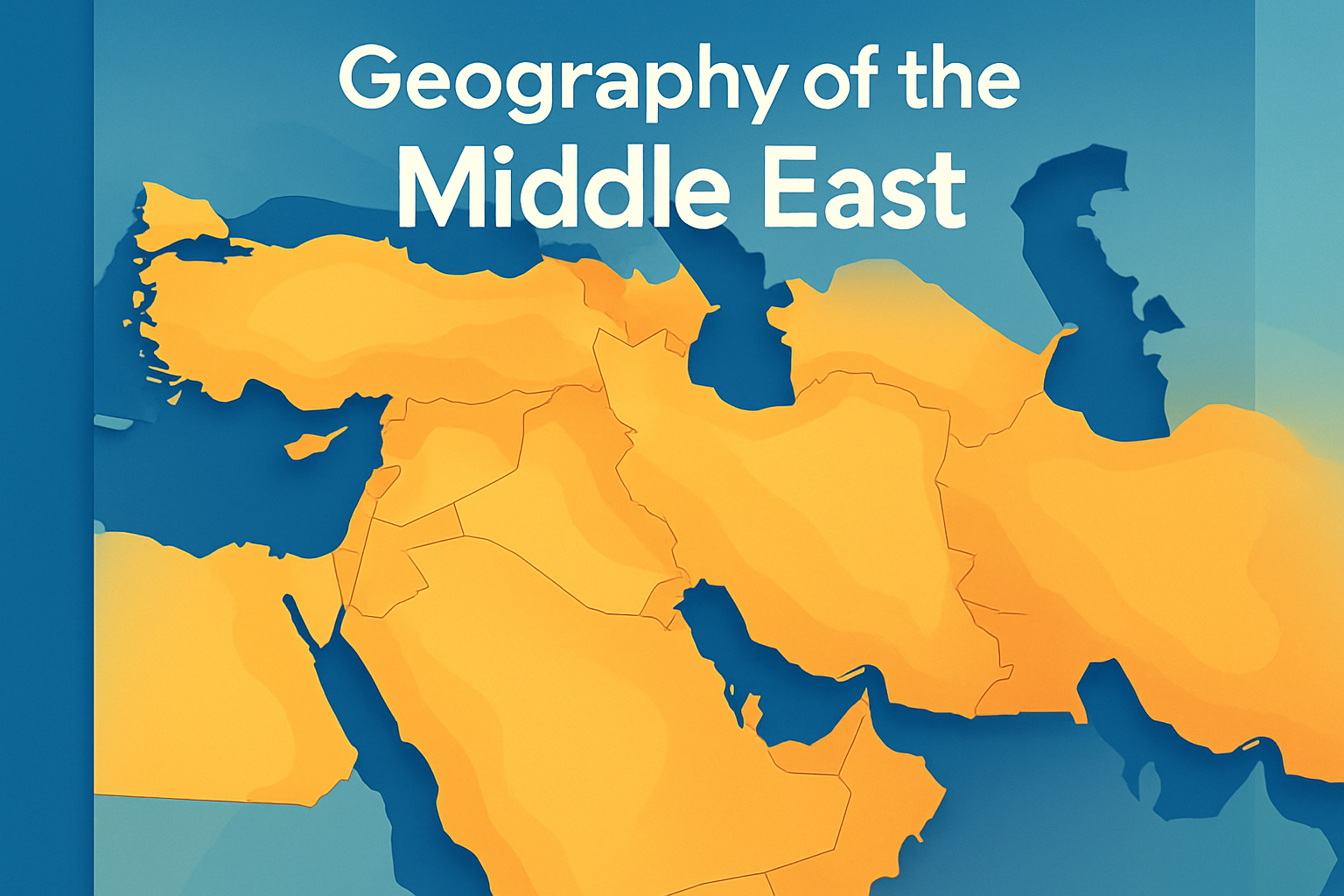
The Middle East, with its rich history and complex geopolitical significance, has always been a region of considerable intrigue and importance. Its geography is not just a matter of cartographic interest; it is a crucial factor that influences the region’s politics, culture, and economies. Understanding the geography of the Middle East is essential for comprehending global political strategies, economic developments, and historical conflicts. The Middle East encompasses a diverse array of physical environments, from expansive deserts to fertile river valleys, each playing a significant role in the growth and sustenance of civilizations. This article delves into the geographic features of the Middle East, exploring how they influence life and politics in the region.
Physical Geography: Landforms and Climate
The Middle East is predominantly known for its arid and semi-arid climates, dominated by vast deserts. The Arabian Desert, spanning much of Saudi Arabia and extending into Jordan, Iraq, and the United Arab Emirates, represents one of the largest continuous bodies of sand in the world. Here, temperatures can reach extreme highs, historically pushing civilizations toward ingenuity in architecture and agriculture. The Syrian Desert and the Negev Desert in Israel are extensions of this arid landscape, each holding its own geographic and historic significance.
Mountains play a significant role in the Middle Eastern topography as well. The Zagros and the Elburz mountain ranges in Iran provide both a formidable natural barrier and a climate moderation mechanism, collecting snow that feeds Iran’s river systems. Similarly, the Taurus Mountains in southern Turkey contribute to the complexity of the region’s physical geography, providing a cooler and more hospitable environment compared to surrounding areas.
Rivers and Water Resources
Despite the dominance of deserts, the Middle East is home to some of the world’s most vital river systems. The Tigris and Euphrates rivers, flowing through modern Iraq, have been the region’s lifeline since the dawn of civilization. These rivers support agriculture and sustain communities, forming the “Cradle of Civilization” known as Mesopotamia. The historical significance of these water bodies cannot be overstated; they enabled the development of early urban centers and advanced agricultural practices.
The Nile River, coursing through northeastern Africa, also impacts the Middle Eastern geography. Although primarily associated with Egypt, its delta region plays a crucial role in the broader Middle East, acting as a primary source of water and facilitating trade and transportation throughout history.
Strategic Waterways and Global Trade
The Middle East’s strategic location links continents and contains some of the world’s most significant waterways. The Suez Canal, a man-made marvel in Egypt, provides a crucial shortcut between Europe and Asia, drastically reducing travel time for global trade ships. Its significance cannot be overstated, as it remains a critical conduit for international commerce and military passage.
Similarly, the Strait of Hormuz, situated between Oman and Iran, serves as a gateway for a majority of the world’s petroleum exports. Control and accessibility of this narrow passage are of immense geopolitical importance, dictating much of the military and political movements in the region.
- Suez Canal: Links the Mediterranean Sea to the Red Sea. Critical for European-Asian trade routes.
- Strait of Hormuz: Gateway for significant perolium exports. Influences global oil markets.
- Bab el-Mandeb: Connects the Arabian Sea to the Red Sea. A navigational choke point.
Biodiversity and Ecosystems
Although often perceived as barren, the Middle East contains diverse ecosystems with unique flora and fauna. Coastal areas around the Mediterranean exhibit rich agricultural conditions, permitting the cultivation of olives, citrus, and grapes. These areas have historically supported dense human populations and given rise to bustling trade hubs.
The Persian Gulf, with its rich marine biodiversity, supports a range of fisheries and coral ecosystems, while the wetlands of southern Iraq, known as the Mesopotamian Marshes, host a distinct array of wildlife. Efforts to restore and preserve these environments are ongoing and highlight the importance of the Middle East’s natural heritage.
Similarly, the mountainous regions hold a different ecosystem, with unique plant species and migratory pathways for birds, indicating the rich tapestry of life that exists despite harsh climates.
Urban Centers and Population Distribution
The geographic features of the Middle East significantly influence urban development and population distribution. Many urban centers developed along the coastlines or near rivers to take advantage of water resources and arable lands. Cities like Cairo, located near the Nile, and Baghdad, near the Tigris and Euphrates, have thrived as central hubs for commerce, culture, and governance.
Modern urbanization trends continue to veer toward these historical foundations, with cities expanding and technologies enabling better resource management. Dubai, a desert metropolis, showcases remarkable advances in urban planning and water resource management, emerging as a global business hub despite its challenging geography.
Cultural and Historical Implications
The geography of the Middle East has shaped its cultures, languages, and historical developments significantly. The Fertile Crescent, an arc of productive land extending from the Persian Gulf through modern-day Iraq and into the Levant and Egypt, is often cited as the birthplace of agriculture and urban society. This development set the stage for the early rise of empires and trade routes, spreading cultural and technological innovations.
The geographic barriers such as deserts and mountains have also preserved many ethnic groups, languages, and cultures by acting as natural fortifications. The Kurdish people, for instance, have retained their distinct cultural identity in the mountainous regions of Iraq, Iran, and Turkey despite the tumultuous history of the Middle East.
Geopolitical Significance
Historically and contemporaneously, the Middle East’s geographic features have dictated the geopolitics of the region. The presence of vast oil reserves below its surface has attracted global interest and intervention, impacting international energy strategies and foreign policies worldwide. The accessibility to strategic locations and resources has fueled both cooperation and conflict among nations within and beyond the region.
The Arab Spring and other movements highlight how urban geography and resource distribution can influence political stability and social dynamics, reflecting the deep interconnection between geography and geopolitics.
Summary and Implications
In examining the geography of the Middle East, it becomes evident how profoundly it affects nearly every aspect of life, from the basic sustenance provided by its river systems to the high-stakes global politics centered around its oil reserves and strategic waterways. This understanding underscores the importance of geographical literacy in navigating modern global affairs. The diversity in landscapes supports varied ecosystems and cultures, emphasizing the region’s role as a cradle of civilization and a spiritual nexus. For those interested in economics, history, or international relations, grasping the geography of the Middle East offers invaluable insights into the forces shaping our world.
With this knowledge, readers are encouraged to explore further. Understanding the implications and interactions of geography and geopolitics enables informed discussions and analyses of current events. Keep informed, stay curious, and delve into the complex and captivating relationships between land, people, and politics—a journey through the Middle East’s geography is not just about maps, but about stories and lives interconnected across ages.
Your exploration into the geography of the Middle East doesn’t have to stop here. Engage with policymakers, participate in academic discussions, or plan a trip to experience the region’s landscapes firsthand. Such steps can enrich perspectives and deepen your appreciation of this pivotal area.
Frequently Asked Questions
1. What countries make up the Middle East, and how are they geographically categorized?
The Middle East is famed for being a melting pot of cultures and histories, and its countries are diverse in every sense. Geographically, this region is primarily divided into several sub-regions such as the Arabian Peninsula, the Levant, and the Persian Gulf. The Arabian Peninsula is home to countries like Saudi Arabia, Yemen, Oman, the United Arab Emirates, Kuwait, Bahrain, and Qatar. Moving toward the Levant, you find countries like Syria, Lebanon, Jordan, Israel, and the Palestinian territories. The Persian Gulf area is noteworthy too, housing Iran and Iraq. Beyond these, other countries like Turkey and Egypt, though somewhat geographically on the peripheries, are often included in Middle Eastern discussions due to historical, cultural, and political affiliations. This geographic landscape shapes various factors, including climate, resources, and political boundaries, making the Middle East a mosaic of intricate divisions.
2. How does the climate of the Middle East impact its economies and daily life?
The Middle East is predominantly arid, comprising vast deserts and limited rainfall, significantly impacting agriculture and daily living. For example, the Arabian Desert spans much of the Arabian Peninsula, contributing to arid conditions that challenge traditional agriculture. In countries like Saudi Arabia and the UAE, the hot desert climate means that water is scarce, pushing economies to develop innovative technologies like desalination to meet water demands. In contrast, areas such as the Fertile Crescent—encompassing parts of Iraq, Syria, and Lebanon—benefit from relatively more fertile lands due to historical river systems like the Tigris and Euphrates, promoting agricultural activities and settlement patterns. Moreover, climate impacts daily life significantly; extreme heat requires adaptation. People have historically built homes with thick walls and small windows for natural insulation and practiced daily routines that accommodate cooler parts of the day. These climatic conditions have also propelled the Middle East into becoming a global leader in petroleum production as oily revenues help fuel the economies where traditional agriculture falls short.
3. How has the strategic geographical location of the Middle East influenced global politics historically?
The Middle East’s strategic location, bridging three major continents—Asia, Africa, and Europe—has long been coveted in global geopolitics. Over the centuries, this strategic threshold has made it a center for trade, military campaigns, and diplomatic interest. Historically, the region has seen the rise and fall of empires such as the Ottoman, Persian, and Byzantine due to its pivotal location on major trade routes like the Silk Road. In recent history, the discovery of abundant oil reserves shifted global political dynamics significantly, turning the region into a pivotal player in energy politics. This wealth of resources often attracts geopolitical interventions, as states vie for influence over the critical waterways like the Suez Canal and Strait of Hormuz – essential arteries for global energy transportation. Furthermore, the fragmentation into different ethnicities, religions, and national interests often boils into complex alliances and conflicts, deeply embedding the Middle East in international politics.
4. In what ways does geography contribute to the cultural diversity of the Middle East?
The Middle East’s diverse geography, encompassing deserts, mountains, and seas, correlates with a rich cultural tapestry. From the Bedouins of the Arabian deserts to the cosmopolitan lifestyle in the cities like Istanbul and Dubai, the variety of landscapes influences lifestyles, languages, and traditions. Geographic diversity fosters a blend of cultural identities as communities adapt to their respective environments—nomadic tribes traverse arid deserts while settled agricultural societies thrive in the Fertile Crescent. Moreover, historical trade routes and conquests brought an overlay of cultures—from Greek and Roman to Persian and Arabic—adding layers of linguistic diversity and architectural styles. Cities like Jerusalem stand as testament to this cultural confluence, where sacred sites from Judaism, Christianity, and Islam coexist within proximity. Additionally, interactions along trade routes promoted the exchange of art, food, and traditions, embedding diversity deeply within the cultural milieu of the region.
5. What are the major water bodies in the Middle East, and why are they significant?
Water bodies like the Mediterranean Sea, the Red Sea, the Persian Gulf, and significant rivers such as the Tigris, Euphrates, and Nile hold paramount importance in the Middle East due to the region’s arid nature. The Nile River, coursing through Egypt, is one of the longest rivers in the world and a lifeline for Egyptian agriculture and settlements, making Egypt a historical cradle of civilization. The Tigris and Euphrates create a fertile crescent, supporting agriculture and sustaining the rich legacy of ancient Mesopotamia. The Persian Gulf is a critical avenue for maritime trade and petroleum exportation, reinforcing the geopolitical significance of Gulf countries. Borders formed by these water bodies often reflect political tension and cooperation, especially viewed in the sharing and managing of resources. Notably, the Suez Canal, linking the Mediterranean to the Red Sea, serves as a critical trade route, deeply influencing global maritime logistics. These water bodies are not merely natural features; they are vital arteries, sustaining life, enabling trade, and reinforcing the socio-economic frameworks of the region.