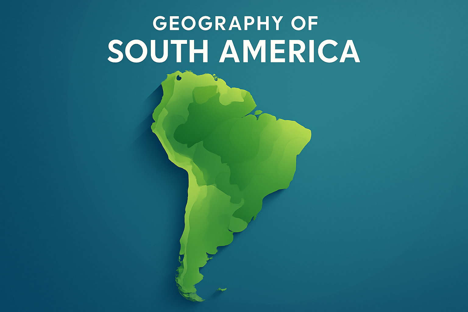
Introduction to South America’s Geography
South America, one of the seven continents, represents a vibrant tapestry of diverse geographical features extending over 17.84 million square kilometers and connecting a rich array of cultures, environments, and histories. Starting from the glacial Andes in the west to the vast Amazon Rainforest, and stretching to the arid Atacama Desert, the continent showcases dramatic terrain and biodiversity. The geographical study of South America provides critical insights not only into the earth’s physical characteristics but also into the interactions between these landscapes and human activities over epochs. Understanding this geography is crucial for appreciating South America’s role in global ecological systems, economic markets, and cultural heritages. Analyzing these geographical factors reveals how they influence climates, habitats, economic strategies, and cultures inherent to the regions across this continent.
The geographical features of South America are pivotal in contributing to global phenomena such as weather changes and environmental sustainability. Its biodiversity serves as a cornerstone for scientific study and environmental protection. Moreover, the continent’s geography influences vital human considerations like urbanization, agriculture, and tourism. As you explore the distinctive geographical nuances of South America, you’ll uncover the intricacies that shape this continent’s physical and socio-economic landscapes.
The Andes Mountain Range
The Andes Mountains are the longest continental mountain range in the world, stretching approximately 7,000 kilometers from north to south along the western edge of South America. This mighty range passes through seven countries: Venezuela, Colombia, Ecuador, Peru, Bolivia, Chile, and Argentina. The Andes are characterized by diverse climatic zones due to their expansive reach, with glaciers in the southern regions and tropical zones in the north. The mountain range has played a significant role in the shaping of South America’s geography and human civilization, providing a rich environment for agriculture, mineral extraction, and cultural development. For instance, the Incas, one of the most renowned civilizations, developed sophisticated agricultural techniques to thrive in this challenging environment.
Modern-day exploration of the Andes includes trekking, scientific research, and mining activities. The range is also known for its rich mineral reserves, including copper, silver, lithium, and gold, making it a focal point for economic endeavors. The Andes continue to be a compelling subject for geological and environmental studies due to their significant impact on climate patterns across South America. The geographical influence of the Andes extends beyond borders, shaping regional climates and ecosystems, which directly affect agriculture and human lifestyles across South America.
The Amazon Basin
The Amazon Basin, encompassing the world’s largest rainforest, represents a breathtaking component of South America’s geography. Covering approximately seven million square kilometers, the Amazon Rainforest spans across nine countries, primarily Brazil, but also Peru, Colombia, and others. This region is renowned for its vast biodiversity, hosting an immense variety of species not found anywhere else in the world. The Amazon plays a crucial role in global oxygen and carbon cycles, serving as a significant carbon sink. It affects global weather patterns and acts as a natural thermostat for the Earth’s climate.
Human interaction with the Amazon Basin is a subject of ongoing concern and study, as deforestation and land conversion threaten biodiversity and contribute to climate change. Efforts are underway to promote sustainable development and protect this vital ecosystem. Real-world examples of initiatives include Brazil’s stringent regulations to curb deforestation and the Amazon Cooperation Treaty Organization, which encourages international cooperation for conservation and sustainable use of the Amazon biome. Preservation of the Amazon is essential not only for maintaining biodiversity but also for mitigating climate change impacts.
The Atacama Desert
Contrasting the lush Amazon, the Atacama Desert in Chile is one of the driest places on Earth, receiving less than one millimeter of rainfall annually in some locales. Extending across 105,000 square kilometers, the desert’s arid conditions create a unique geography characterized by salt flats, sand, and surrounding volcanoes. Despite its dryness, the Atacama is home to rich deposits of copper and lithium, making it economically significant due to the global demand for these resources.
The Atacama’s environment supports small endemic plant species that adapt to harsh conditions, showcasing nature’s resilience. This landscape also provides ideal conditions for astronomical observation, with clear skies offering a perfect setting for large observatories. Efforts to sustain both ecological and economic activities have led to strict environmental guidelines for mining operations, ensuring minimal environmental impact. Initiatives in this regard prove crucial for balancing economic activities with environmental sustainability.
The Pampas
The Pampas, a fertile plain that extends across Argentina, Uruguay, and Brazil, is renowned for its agricultural significance. Covering approximately 750,000 square kilometers, its fertile soils make it one of the most productive agricultural regions in the world. The Pampas are integral to South America’s economy, supporting extensive crop production and cattle ranching, which are vital components of the agricultural sectors in these countries.
Historically, the Pampas facilitated the development of a ranching culture, influencing local cuisines and traditions. Today, it remains central to food production, contributing significantly to global food supplies of wheat, corn, and beef. The Pampas also highlight the challenges of sustainable agriculture, facing issues such as soil degradation and overgrazing. Enhancements in agricultural practices, including crop rotation and conservation efforts, seek to ensure the longevity of this crucial region.
Rivers and Water Systems
South America is a continent rich with water systems, including the Amazon River, the second-longest river in the world, and other significant rivers like the Orinoco, Paraná, and Magdalena. These water bodies play crucial roles in transportation, water supply, agriculture, and biodiversity. The Amazon River, for instance, serves as a lifeline for the rainforest and its ecosystems, providing routes for transport and influencing numerous indigenous cultures’ lifestyles.
The Rio de la Plata Basin, inclusive of the Paraná and Uruguay rivers, is vital for agriculture and hydropower generation in South America. These rivers support vast populations and offer substantial opportunities for economic development. Water resource management faces challenges such as pollution, especially from urban and industrial activities, and climate change impacts, which threaten to exacerbate these concerns. Efficient water management and international cooperation are essential for sustaining these crucial water systems.
- Amazon River: 6,400 km
- Paraná River: 4,880 km
- Orinoco River: 2,250 km
- Magdalena River: 1,528 km
Conclusion
The geography of South America is a complex tapestry that combines dramatic landscapes and climatic zones, each offering diverse and profound influences on the continent’s ecological, economic, and cultural facets. From the majestic Andes and the lush Amazon Basin to the arid Atacama Desert and fertile Pampas plains, each feature plays a crucial role in shaping life on the continent. Their intrinsic and extrinsic impacts present both challenges and opportunities for sustainable development, conservation, and economic progress.
For those interested in exploring the geography of South America, understanding these vital components is informed by scrutinizing their interactions with human activity and global ecosystems. Readers are encouraged to delve deeper into specific topics of interest, ranging from environmental conservation efforts to sustainable agriculture practices, to fully appreciate the rich geographical diversity of South America. The learnings obtained from this text can serve as a stepping stone for greater involvement in efforts to preserve and sustain this incredible part of the world.
As your next step, consider actively supporting conservation initiatives or engaging with educational resources that highlight South America’s geographical and cultural richness, thereby fostering a community of environmentally conscious and informed global citizens.
Frequently Asked Questions
1. What are some of the major geographical features of South America?
South America is a continent rich in diverse geographical features that are nothing short of stunning. Among the most prominent is the Andes Mountain Range, which runs along the western edge of the continent for about 7,000 kilometers, making it the longest continental mountain range in the world. These mountains are home to impressive peaks, such as Aconcagua, which stands at around 6,960 meters, the highest point outside of Asia.
Another striking feature is the Amazon Rainforest, which is the largest tropical rainforest on Earth. Spanning over 5.5 million square kilometers, it is a crucial repository of biodiversity and plays an essential role in regulating the world’s oxygen and carbon cycles. The Amazon River, coursing through this lush forest, is the second longest river globally and by far the largest in terms of water flow.
In stark contrast, the Atacama Desert in Chile is recognized as one of the driest places on the planet, thanks to the rain shadow effect of the Andes and cold offshore currents. Additionally, unique hydrographic structures such as the Pantanal wetlands in Brazil, the largest wetlands on Earth, support diverse and interconnected ecosystems.
South America’s geography also includes features such as the Guiana Highlands, Patagonia’s mesmerizing landscapes, and a myriad of rivers, basins, and coastal features, all contributing to its dynamic and varied geographical identity.
2. How does the geography of South America impact its climate?
South America’s geography exerts a powerful influence on its climate, resulting in a range of climatic zones across the continent. The equatorial region, home to the immense Amazon Rainforest, is characterized by hot and humid conditions with significant rainfall year-round. This area supports dense vegetation and incredible biodiversity.
The Andes Mountains introduce a variety of microclimates along their length. Depending on the elevation and latitude, climates can range from tropical and subtropical to cold and alpine. For instance, higher elevations are colder and can experience glacial conditions, while lower slopes may encounter temperate conditions suitable for agriculture.
Moving southward, one finds the temperate climates of Chile, Argentina, and Uruguay. Patagonia, located at the southern tip of the continent, experiences cooler temperatures and, given its proximity to the Southern Ocean, can be very windy. In contrast, the Atacama Desert to the north is one of the driest places on Earth, with barely any precipitation, a condition engendered by its elevation, latitude, and the Humboldt Current’s cooling effects.
The diverse geographical formations cause a variety of weather patterns, influencing the local economy, lifestyle, and demography. From lush rainforests to arid peaks, the climate across South America is as varied as its topography.
3. What are some of the most significant rivers in South America, and why are they important?
South America boasts some of the most significant and impressive river systems in the world, playing a crucial role in the continent’s ecology, economy, and culture. The Amazon River is, of course, the titan among them. It flows for around 7,000 kilometers, making it the second-longest river globally, while discharging more water than any other river. The vast Amazonian basin it drains is fundamental to the planet’s ecology and is home to an extensive array of flora and fauna.
Additionally, the Paraná-Paraguay river system is noteworthy, forming the second-largest river system in South America. It supports immense wildlife habitat, serves as a major shipping route, and provides the foundation for major hydroelectric projects such as the Itaipu Dam, one of the largest in the world.
The Orinoco River, another significant South American river, flows through Venezuela and drains into the Atlantic Ocean. It sustains biodiversity hotspot regions and is vital for numerous indigenous communities dependent on its resources for sustenance.
These rivers are integral to the continent as they provide resources, shape ecosystems, facilitate trade, and serve as ancient cultural conduits for the original peoples of South America.
4. How do geographical features influence the biodiversity of South America?
The geographical features of South America are a driving force behind the continent’s outstanding biodiversity. The striking variation in ecosystems created by the Andes Mountains, the Amazon Basin, the coastal regions, and the arid deserts supports a staggering array of species, both flora and fauna.
The Amazon Rainforest alone is home to an estimated 10% of the world’s known biodiversity, housing millions of species, many of which are unique to the region. The dense foliage and vast, untouched tracts give rise to a complex web of life that ranges from jaguars and anacondas to countless plant species, insects, and birds.
The varied climate and topography found along the Andes provides niches for a multitude of life forms, resulting in the highlands being one of the world’s biodiversity hotspots. Here, adaptation to different elevations and climates has led to the evolution of many endemic species.
Conversely, the dry Atacama Desert hosts specialized life forms adapted to survive with minimal water, showcasing nature’s resilience. Coastal zones in both the Atlantic and Pacific oceanic regions have their own set of marine ecosystems teeming with life, influenced by ocean currents and coastal geology.
The convergence of diverse ecosystems and climatic zones across the continent fosters biodiversity, presenting a living laboratory for the study of ecology and the interconnectedness of life.
5. How have human activities shaped the geography of South America?
Human activities have left a lasting imprint on the geography of South America, reshaping its landscape in numerous ways. Urban development stands as one of the most visible changes, with sprawling cities like São Paulo and Rio de Janeiro in Brazil, and Buenos Aires in Argentina transforming vast tracts of natural land into urban environments, bringing challenges such as pollution and habitat loss.
Agricultural expansion has altered large sections of land, most notably within the Amazon Rainforest. Deforestation primarily driven by agriculture, logging, and mining has significantly reduced forest cover, impacting biodiversity and contributing to carbon emissions.
Infrastructure developments like roads and dams have both benefited and challenged the continent. Hydroelectric projects, while providing needed energy, have led to ecological disturbances and the displacement of communities.
Cultural influences also intertwine with geography, as indigenous communities have lived in harmony with the land for generations, practicing sustainable agriculture and stewardship of natural resources.
The continent continues to evolve with the interplay of human activity and natural geography, presenting both challenges and opportunities for sustainable development and conservation efforts.