
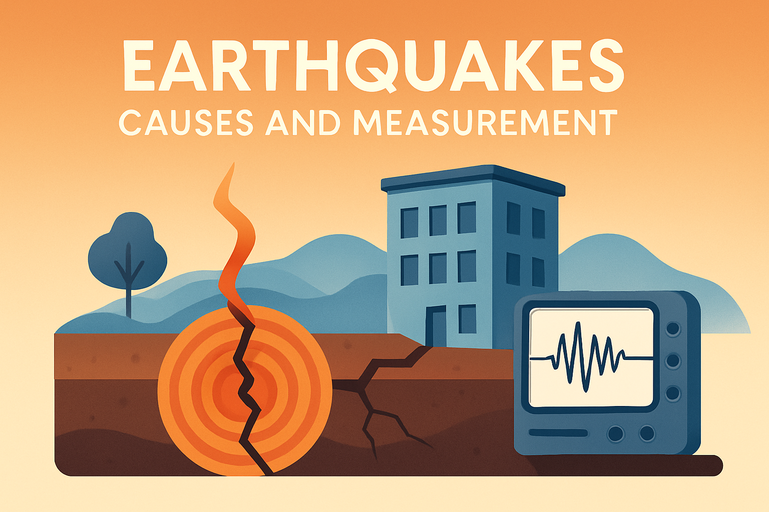
Earthquakes are among the most powerful natural forces on the planet, capable of altering landscapes, demolishing structures, and even changing the course of human history. These seismic events occur when energy stored in the Earth’s crust is suddenly released, primarily due to the movement of tectonic plates. This subject holds significant importance as earthquakes can have devastating effects on communities, infrastructure, and economies worldwide. Understanding their causes and measurement helps in building preparedness, mitigating potential damage, and saving lives. Given the unpredictability of earthquakes, the ability to measure and analyze these natural occurrences accurately is crucial for scientific research and disaster management. In this article, we delve into the underlying causes of earthquakes, examine the methods used to measure them, and explore their global impact and implications.
Underlying Causes of Earthquakes
The majority of earthquakes are caused by tectonic activity. The Earth’s crust is divided into several large plates, known as tectonic plates, which float on the semi-fluid layer of the mantle beneath. These plates are constantly moving, although often at rates of just a few centimeters per year. The boundaries where these plates meet are called fault lines, and they are the locations where most earthquakes originate. When plates grind against each other, pressure builds up over time. Eventually, this pressure surpasses the friction holding the plates together, resulting in a sudden release of energy and an earthquake.
There are different types of plate boundaries, each associated with specific earthquake types:
- Convergent boundaries: Where two plates collide, one being forced beneath the other, often creating significant seismic activity. The Himalayas, formed by the collision of the Indian and Eurasian plates, is a prime example.
- Divergent boundaries: Where two plates move apart, creating new crust as magma rises. The Mid-Atlantic Ridge is an illustrative example of this type of boundary.
- Transform boundaries: Where plates slide past each other horizontally. The San Andreas Fault in California is a well-known example where such movement frequently causes earthquakes.
A real-world example of a catastrophic earthquake resulting from tectonic activity is the 2011 Tōhoku earthquake in Japan. This undersea megathrust earthquake resulted from the Pacific Plate subducting beneath the North American Plate, triggering a magnitude 9.0 seismic event and a subsequent tsunami.
Volcanic Activity and Human-Induced Earthquakes
Volcanic activity is another cause of seismic events. Earthquakes often accompany volcanic eruptions, as the movement of magma within or beneath a volcano can create significant pressure and result in earth-shaking vibrations. The 1980 eruption of Mount St. Helens in Washington State, USA, was preceded by a series of small earthquakes signaling the imminent volcanic activity.
Moreover, human activities can induce earthquakes, though typically on a smaller scale. Activities such as mining, reservoir-induced seismicity from large dams, and hydraulic fracturing (fracking) can cause shifts in the Earth’s crust. A notable example is the 2011 earthquake in the town of Youngstown, Ohio, which was induced by wastewater injection associated with fracking.
Techniques and Tools for Measuring Earthquakes
Measuring earthquakes is essential for assessing their magnitude and potential impact. Seismologists utilize a variety of tools and scales to record and quantify seismic activity. The most recognized tool is the seismograph, which records the amplitudes of seismic waves generated by an earthquake. This data is then translated into a magnitude using scales such as the Richter and moment magnitude scales.
The Richter scale, developed in 1935 by Charles F. Richter, was the first successful method for comparing the size of earthquakes. It quantifies the amplitude of seismic waves, but is most accurate for earthquakes of small to moderate size. In contrast, the moment magnitude scale, more commonly used today, provides a more comprehensive measurement by considering the seismic moment (a measure of the total energy released) of the quake.
| Measurement Scale | Description |
|---|---|
| Richter Scale | Measures amplitude; best for small-to-moderate earthquakes. |
| Moment Magnitude Scale | Assesses seismic moment; provides consistent measurement across quake sizes. |
One of the largest recorded earthquakes was the 1960 Valdivia earthquake in Chile, measuring 9.5 on the moment magnitude scale. Its immense power generated a tsunami that reached as far as Hawaii and Japan, demonstrating the importance of accurate measurement and early warning systems.
The Role of Early Warning Systems
Early warning systems aim to mitigate the impact of earthquakes by providing advance notice to affected areas. Such systems analyze seismic data in real time and can alert populated regions seconds to minutes before shaking occurs. Japan’s earthquake early warning system serves as a model, utilizing a network of over 1,000 seismometers to detect initial P-waves (primary waves) and forecast the potentially damaging S-waves (secondary waves).
The 2016 Kumamoto earthquakes in Japan highlighted the effectiveness of these systems, allowing residents to receive alerts on their mobile phones, giving them precious seconds to seek shelter. However, occasional false alarms and limited warning time are challenges that experts continuously strive to improve.
Preparedness and Risk Mitigation
Understanding earthquakes’ causes and measuring them accurately are key components of preparedness and risk mitigation strategies. Authorities and urban planners can utilize seismic data for risk assessment and infrastructure design, reducing the potential for catastrophic damage. Retrofitting existing structures to withstand shaking and enforcing stringent building codes for new developments is also essential.
Public education and awareness campaigns play a significant role in enhancing community preparedness. Teaching individuals how to “Drop, Cover, and Hold On” during an earthquake, and creating emergency plans and kits are proactive measures to safeguard lives. San Francisco, located near the San Andreas Fault, is an exemplary city that has invested in strengthening infrastructure and fostering community resilience.
Summarizing Key Takeaways and the Importance of Further Studies
In summary, earthquakes are complex phenomena primarily caused by tectonic plate interactions, with significant impacts on human societies and natural landscapes. The ability to accurately measure earthquakes through modern technology provides crucial data that aids in early warning and disaster preparedness. Volcanic activity and human actions also contribute to this natural hazard, underscoring the need for comprehensive monitoring systems.
Learning from past earthquakes and continuously improving measurement techniques and early warning systems can mitigate the devastating effects of future events. Public awareness and infrastructure resilience are critical components of effective earthquake preparedness and response. For individuals and communities, understanding the seismic risks inherent in their environment is the first step toward increased safety.
As researchers and engineers develop new technologies and solutions, governments and citizens alike must prioritize seismic safety to reduce vulnerabilities. Whether through participating in earthquake drills or staying informed about regional risks, taking action is vital. The more informed we are, the more effectively we can adapt to the challenges of living in an earthquake-prone world, ultimately preserving lives and communities.
Frequently Asked Questions
1. What exactly causes earthquakes?
Earthquakes are caused by the sudden release of energy in the Earth’s crust. This energy release occurs because of the movement of tectonic plates, which can be thought of as huge slabs of the Earth’s surface floating atop the semi-fluid asthenosphere located below the crust. These plates are constantly moving, albeit very slowly, sliding past one another, colliding, or pulling apart. When the stress along fault lines caused by these movements becomes too great, the energy breaks free, causing the ground to shake. Think of it like the snapping of a twig under increasing tension—once you reach the breaking point, that pent-up energy is released abruptly.
The friction that builds up at the boundaries of these plates is eventually overcome, leading to a sudden slip. The point beneath the Earth’s surface where this happens is called the focus, or hypocenter, and the point directly above it on the surface is known as the epicenter. Aftershocks, which are smaller quakes, can occur as the crust adjusts following the initial event.
2. How are earthquakes measured?
Earthquakes are primarily measured using a seismometer, an instrument that detects the seismic waves generated by earthquakes. These waves travel through the Earth’s layers, and the seismometer records these vibrations, providing a visual representation called a seismogram. The intensity and frequency of these waves give scientists the ability to analyze and measure an earthquake’s magnitude.
The most commonly known scale for measuring earthquake magnitude is the Richter scale, developed in the 1930s. Although it’s still widely referenced, the Richter scale has largely been replaced by the moment magnitude scale (Mw) for large, significant earthquakes because it provides a more accurate measure across all magnitudes and at any distance. Whereas the Richter scale is logarithmic (each unit increase represents a tenfold increase in amplitude), the moment magnitude scale measures the total energy released and is now often the preferred measurement because it helps seismologists understand the quake’s real impact more accurately.
3. Can earthquakes be predicted?
As of now, accurately predicting earthquakes remains one of the great challenges in geology and seismology. Despite tremendous advancements in technology and monitoring capabilities, it’s not yet possible to predict with certainty when and where an earthquake will occur. However, scientists can estimate probabilities that a significant earthquake might happen in a particular area over time by studying historical data, fault lines, and patterns of seismic activity.
Earthquake prediction involves specifying the time, location, and magnitude of a future earthquake, something that has not been achievable with current methodologies. However, earthquake early warning systems have been developed and implemented in certain regions. These systems don’t predict earthquakes in the traditional sense but do provide a few seconds to minutes of warning after the quake has started but before the shaking reaches a particular place, allowing communities to take necessary protective actions.
4. What areas are most prone to experiencing earthquakes?
Earthquakes are most common in areas that lie along the boundaries of tectonic plates. The Pacific Ring of Fire is the most notable earthquake-prone zone, which is an area encircling the Pacific Ocean known for its high volcanic and seismic activity. Countries like Japan, Indonesia, Chile, and the west coast of the United States, including California, regularly experience earthquakes due to their proximity to these volatile boundaries.
Other significant earthquake zones include the Himalayas, where the Indian plate meets the Eurasian plate, and the East African Rift, which is a tectonic plate boundary in East Africa. While some areas are more prone because of their geological setting, it’s important to note that earthquakes can occur anywhere, albeit less frequently in tectonically stable regions.
5. How can we protect ourselves during an earthquake?
Being prepared and knowing what to do during an earthquake can save your life. The recommended safety measures include: “Drop, Cover, and Hold On.” If you feel the ground shaking, drop to your hands and knees to prevent being knocked over, cover your head and neck with your arms, or if possible, take cover under sturdy furniture, and hold on until the shaking stops.
Avoid doorways as a protective measure, as contrary to popular belief, they aren’t necessarily the strongest structural parts of a building. Stay clear of windows, heavy furniture that could topple, and other potential hazards. If you are outside, move to an open area away from buildings, trees, streetlights, and utility wires—these can fall during a quake.
After an earthquake, check yourself and others for injuries and be prepared for aftershocks. It’s critical to have an emergency kit ready, with supplies such as water, non-perishable food, a flashlight, and a first-aid kit. Awareness, preparedness, and practice are key to increasing safety during an earthquake.