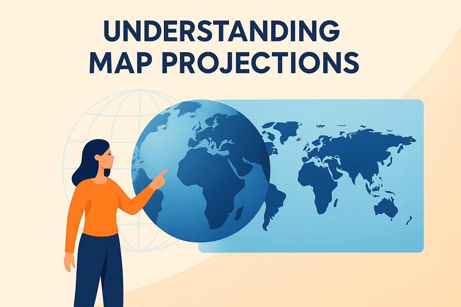
In our modern world, maps are indispensable tools for navigation, understanding geography, and analyzing spatial data. However, one subtle but crucial aspect often overlooked in map design is the concept of map projections. A map projection is a method used to represent the three-dimensional surface of the Earth on a two-dimensional plane. This topic is vital because it directly affects the accuracy and utility of the maps we use daily. Choosing the wrong projection can lead to significant distortions, impacting everything from planning routes to conducting geographical research. Thus, understanding map projections is not only of academic interest but also a practical necessity. In this article, we will explore different aspects of map projections, examining how they work, their strengths and weaknesses, and the applications they are best suited for.
The Basics of Map Projections
At its core, the challenge of map projections lies in flattening a spherical surface without distorting the spatial relationships between places. Different projections have been developed to tackle various aspects of this challenge. Broadly, these projections can be categorized into three types: conformal, equal-area, and equidistant.
Conformal projections preserve angles, making them ideal for navigation and meteorology. However, they distort area, meaning the size of landmasses can become exaggerated or diminished. A classic example of a conformal projection is the Mercator projection, often used in marine charts.
Equal-area projections, as the name suggests, preserve area, ensuring that regions are represented with correct relative sizes. This type of projection is useful for thematic and statistical maps, where accurate area representation is crucial. The Mollweide projection is an example of an equal-area projection, commonly employed in global maps where area comparison is needed.
Equidistant projections maintain accurate distances from the center of the projection or along specific lines. These projections are useful for radio and seismic mapping where precise distance measurement from a central point is essential. The Azimuthal Equidistant projection is one such example, prominently used by organizations like the United Nations.
Real-World Application: The Mercator Projection
The Mercator projection, developed by Gerardus Mercator in 1569, is one of the most commonly used map projections. Its primary advantage is its conformal nature, preserving angles and shapes over small areas. This makes it particularly useful for navigation as straight lines on a Mercator map represent loxodromes or rhumb lines, which are lines of constant course.
- Strength: Conformality – Perfect for marine navigation; sailors can plot a straight course.
- Weakness: Area Distortion – High latitude regions like Greenland appear much larger than they are relative to equatorial regions.
- Used In: Google Maps uses this projection for its regular zoom levels because of its navigational capabilities.
Despite its advantages, the Mercator projection is not suitable for general world maps because it exaggerates the size of countries near the poles. For example, Greenland appears similar in size to Africa, though it is, in reality, much smaller.
Equal-Area Projections: Mollweide Example
The Mollweide projection, largely used in maps that require equal-area representation, attempts to correct issues seen in the Mercator projection regarding size distortion. This elliptical projection stretches out latitudes and squashes longitudes to preserve areas.
- Strength: Area Preservation – Nations and continents are shown in their correct size relative to each other.
- Weakness: Shape Distortion – Shapes of landmasses, especially at the high latitudes, may appear distorted.
- Used In: Often used in thematic world maps where comparing the area between regions is crucial.
In the Mollweide projection, Africa and Greenland are represented proportional to their actual areas, which is crucial for accurate visualizations in educational and analytical contexts.
Equidistant Projections: Azimuthal Equidistant Example
The Azimuthal Equidistant projection is beneficial when accurate distance measurement is essential. It displays correct distances from the center of the map to any other points.
- Strength: Distance Accuracy – Allows accurate distance calculation from a central point, beneficial for radio broadcasting and flight maps.
- Weakness: Distortion Away from Center – As one moves away from the central point, shapes and sizes become distorted.
- Used In: Preferred by organizations like the United Nations for logistics and resource distribution.
This projection is useful in fields that require precise measurements from a central location, such as aviation and telecommunication, where exact distances help optimize resource allocation and operational efficiency.
Comparing Map Projections: A Simple Table
| Projection | Type | Strength | Weakness | Common Uses |
|---|---|---|---|---|
| Mercator | Conformal | Angle preservation | Area distortion at high latitudes | Navigation, Google Maps |
| Mollweide | Equal-Area | Area preservation | Shape distortion | Thematic maps |
| Azimuthal Equidistant | Equidistant | Distance accuracy from center | Distortion away from center | UN resources, aviation |
This table highlights the different attributes of each projection, helping users choose the most suitable one based on their specific needs.
Projection Choices in Various Fields
Different fields often require different map projections to accurately serve their specific purposes. For instance, in aeronautical charts, projections that preserve distance are essential. In contrast, geographers often prioritize projections that preserve area.
In navigation, the Mercator projection is a staple due to its angle-preserving qualities. However, for educational purposes, where an accurate representation of the world’s geography is required, an equal-area projection like the Mollweide is preferred. In telecommunications and meteorology, where precise measurements from fixed points are vital, an equidistant projection like the Azimuthal Equidistant is used.
Innovations and Challenges in Map Projections
With advancements in technology and data processing, new challenges and innovations have emerged in the field of map projections. The advent of digital mapping and satellite imagery has heightened the need for precise and accurate projections.
While traditional projections are still widely used, new tools are being developed to combine the strengths of multiple projections. With Geographic Information Systems (GIS), it’s now possible to dynamically adjust projections based on the task at hand, improving accuracy and utility.
However, these innovations also present challenges, such as data management and the need for specialized knowledge in interpreting different projections. Geographers and cartographers must remain vigilant about these changes to ensure they choose the best projection for their needs.
The Future of Map Projections
As the world continues to become more interconnected and data-driven, the need for accurate and versatile map projections is more critical than ever. Innovations in mapping technology hold immense potential for reducing projection-related distortions while increasing accessibility and understanding of spatial data.
Next-generation cartographers are expected to integrate artificial intelligence and machine learning to develop projections that adapt dynamically to user needs, reducing the manual selection process. These systems will likely offer real-time adjustments, catering to the precise requirements of different industries and research fields.
Conclusion: Becoming Map Projection Savvy
Understanding map projections is more than an academic exercise. It is a vital component for anyone involved in navigation, geography, or spatial analysis. The key takeaway is that while each projection has its unique strengths and weaknesses, the choice depends largely on the map’s intended use. Properly understanding and applying these projections ensures more accurate, reliable maps and analyses.
For readers looking to refine their skills, the next step is to experiment with different projections using software such as ArcGIS or QGIS. Practice will help solidify the concepts covered in this guide and ensure more informed decisions in map-related endeavors.
Take the time to explore various projections through practical application and enhance your work’s effectiveness and credibility. In a world that increasingly relies on spatial data, mastering map projections gives you a significant edge.
Frequently Asked Questions
1. What exactly is a map projection, and why do we need it?
Map projections are one of those fundamental aspects of cartography that people might overlook but are immensely important. Simply put, a map projection is a systematic transformation of the latitudes and longitudes of locations from the surface of a sphere or an ellipsoid into locations on a plane. Now, you might ask, “Why do we need to do this?” Well, the Earth is a three-dimensional object, but when we want to represent it on something flat, like a paper or a digital map screen, we need to convert that 3D reality into 2D. This is where map projections come into play.
The reason we need map projections is that they allow us to depict the curved surface of the Earth on flat maps, which we use daily for a myriad of purposes—from online maps that guide our travel routes to atlases that display geographical data. Without a proper map projection, our maps would be unintelligible and probably inaccurate. However, it’s important to note that because we’re forcing a 3D shape into 2D, every map projection has some level of distortion. The challenge is choosing the right projection based on what needs to be minimized: shape, area, distance, or direction distortions.
2. What are the different types of map projections, and how do they differ from each other?
When we talk about types of map projections, we’re essentially referring to the different methods used to translate our 3D Earth onto a flat surface. There are several major categories of map projections, each with its unique characteristics and suited for different purposes. The main types include:
- Cylindrical Projections: Imagine wrapping a cylinder around the globe. The Mercator projection is one of the most famous of these. It’s great for navigation because it keeps angles and shapes accurate, but watch out—it distorts sizes drastically, making regions near the poles look much larger than they are.
- Conic Projections: Think of placing a cone on top of the Earth. Used mostly for mid-latitude countries, conic projections are like the Lambert Conformal Conic and are quite good for mapping small areas with a good balance of shape, area, and scale.
- Azimuthal Projections: These are like projecting the Earth onto a plane. Imagine touching a flat piece of paper to a globe. This category includes the Polar projection, which looks straight from above the poles, making it ideal for certain polar region maps.
- Pseudocylindrical Projections: They map the whole world with a more ‘oval’ shape, like the Robinson projection, designed to create appealing visuals with acceptable distortion balance across the map.
Each type handles distortion differently. Choosing one over the other depends on what you’re portraying—worldwide patterns, detailed views of local regions, or specific spatial relationships. It’s all about how you need the data to be seen!
3. How do map projections affect the accuracy of maps?
Now let’s dive into some crucial implications: How do these projections affect the map’s accuracy? Because we’re forcing something spherical into a flat form, there’s an inherent distortion in every map projection. This distortion can impact the map’s accuracy in terms of shape, area, distance, or direction—and sometimes, a bit of everything.
For instance, the Mercator projection does a superb job preserving angles, making it valuable for nautical purposes where direction is key. However, it exaggerates the size of areas far from the equator, turning Greenland into a continent-sized landmass. On the other hand, the Gall-Peters projection maintains area accuracy, which is perfect if you want to compare the size of different territories fairly, but it distorts shapes, making continents appear stretched.
Additionally, projections like the Goode Interrupted Homolosine help minimize distortion by creating interruptions in their layouts, though this makes them less ideal for certain kinds of navigational tasks. Every projection comes with trade-offs. If you choose the wrong one for your intended use, you run the risk of conveying misleading information, and that’s why making an informed choice is so crucial for map accuracy.
4. Why are map projections important in disciplines like geography and spatial analysis?
Map projections are not just an academic exercise—they are blockbusters in geography, cartography, and spatial analysis. Why? Because they are foundational to how we interpret spatial data and understand our planet. Consider how critical spatial analysis is for natural resource management, urban planning, and climatology. Accurately mapping data—such as land use, climate patterns, or point locations of interest—requires projections that give true representations based on specific criteria.
In geography, projections allow geographers to present data in ways that best reflect the phenomena they study. For instance, climatologists may prefer projections that preserve area to represent how climate affects different parts of Earth accurately. Meanwhile, human geographers might use projections that better preserve distance or angles, especially if they’re analyzing migration patterns or transportation routes.
The ability to choose an appropriate projection means professionals in these fields can tailor their maps to highlight specific relationships and patterns. A poorly chosen projection could lead to flawed conclusions, undermining rigorous analysis and planning. Hence, understanding map projections is indispensable for these disciplines.
5. Can we create a ‘perfect’ map projection without distortions?
Ah, the dream of a perfect map projection… it’s the holy grail of cartography! But here’s the reality: creating a perfectly accurate map projection without any distortions is, unfortunately, impossible due to the nature of geometry. The Earth is a sphere (or to be more precise, an oblate spheroid), and every time you attempt to flatten that sphere onto a plane, something must give.
The trade-off lies in choosing which distortions are acceptable for the map’s intended use. The good news is, advances continue: innovative projection methods constantly seek better compromises, giving more accuracy for specific goals. Researchers create hybrid projections or adaptive methods that blend techniques to suit particular aspects of spatial representation. For instance, the Winkel Tripel projection was specifically developed to reduce the overall distortion and has become a popular choice for world maps by balancing area, shape, and distance distortion.
So while we might not talk about achieving perfection, the evolving science and art of map projections are about approaching that ideal balance where distortions are managed in alignments with the map’s purpose. Remember, maps themselves are tools—we design them to serve purposes aligned with what we need to understand or convey!